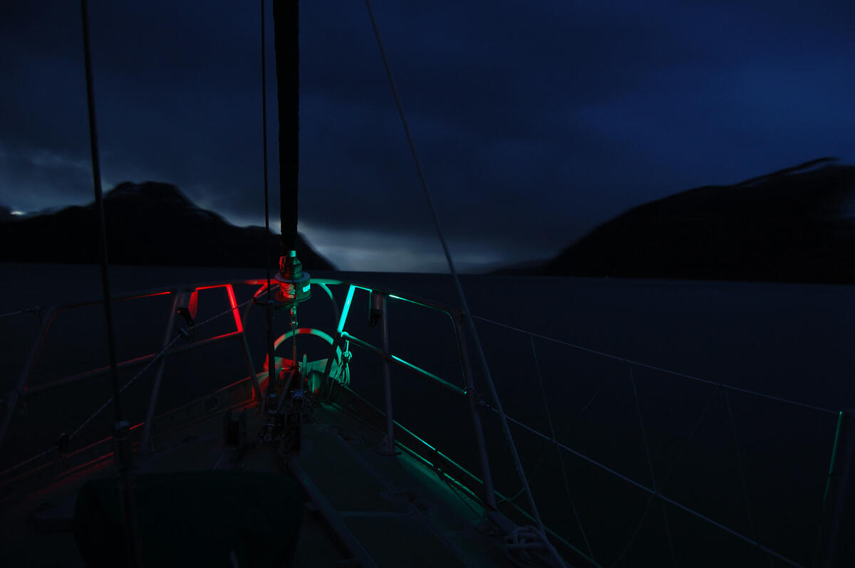
Leaving Puerto Williams, within a day’s sail are a number of major glaciers and other cruising destinations.
The Beagle Channel
Technically staying within Chilean borders, we pass Ushuaia and Argentina. The inclement weather that gives Ushuaia its bad reputation is all too visible.
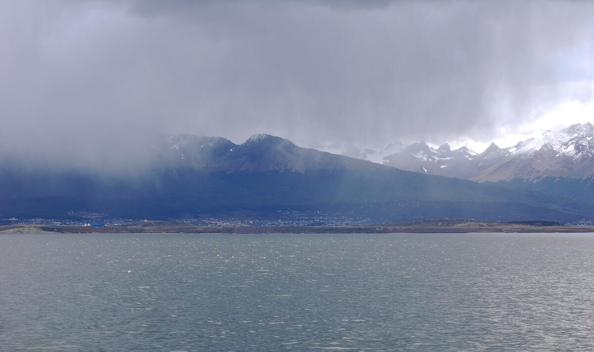
The Argentine border steps north not far from Ushuaia, and we are surrounded by Chile once again. The terrain is dramatic.
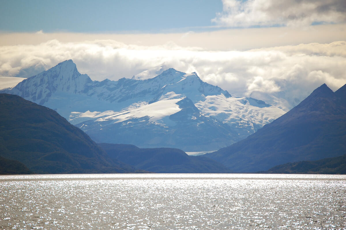
Scale in photographs is difficult to comprehend without references. Here, the beach and the treeline at the water’s edge can provide some idea of the imposing nature of this glacial valley.
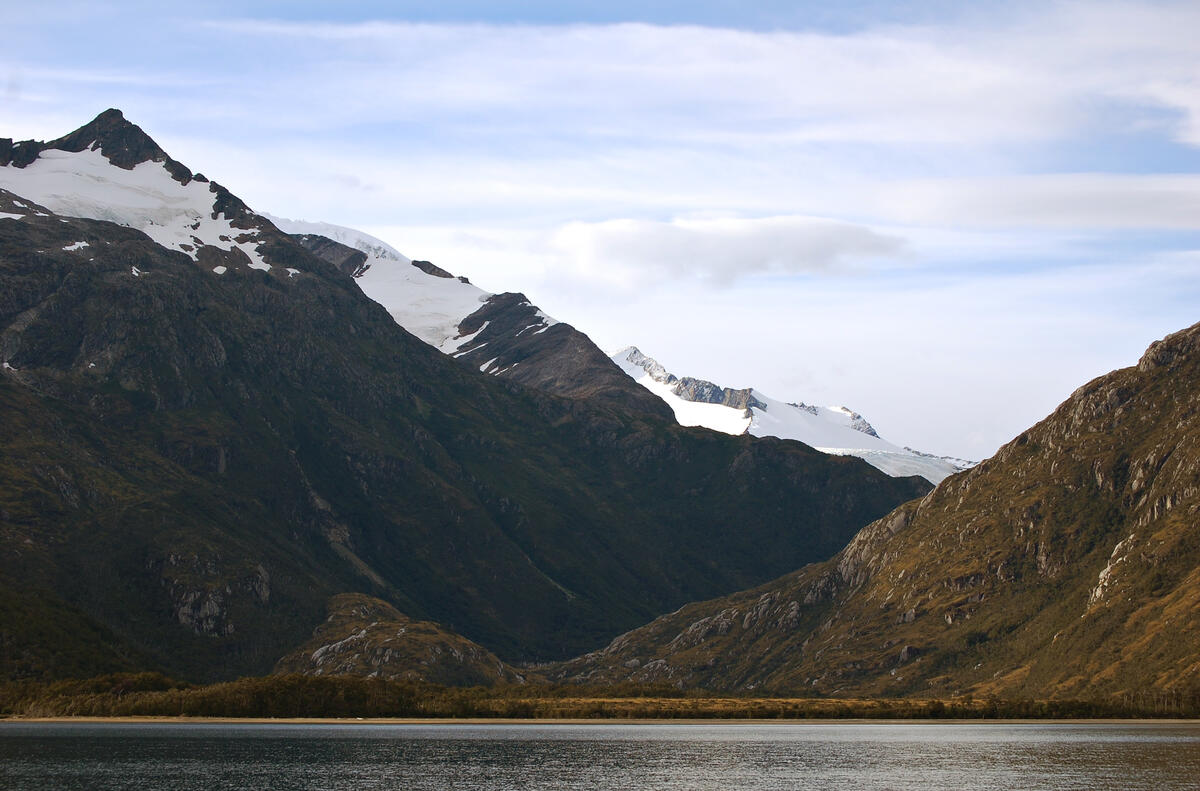
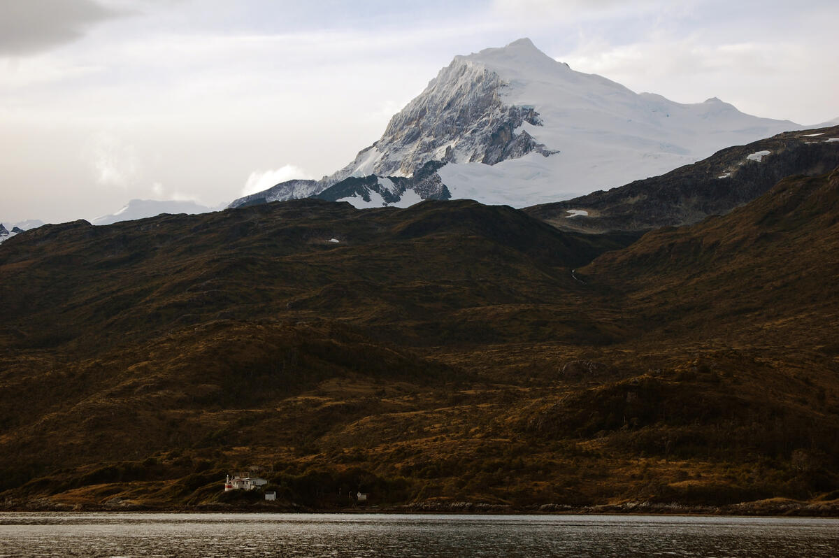
This Armada alcamar is a naval station which monitors vessel movements up and down the channel. Reporting in with them and updating status and progress according to filed route plans is mandatory.
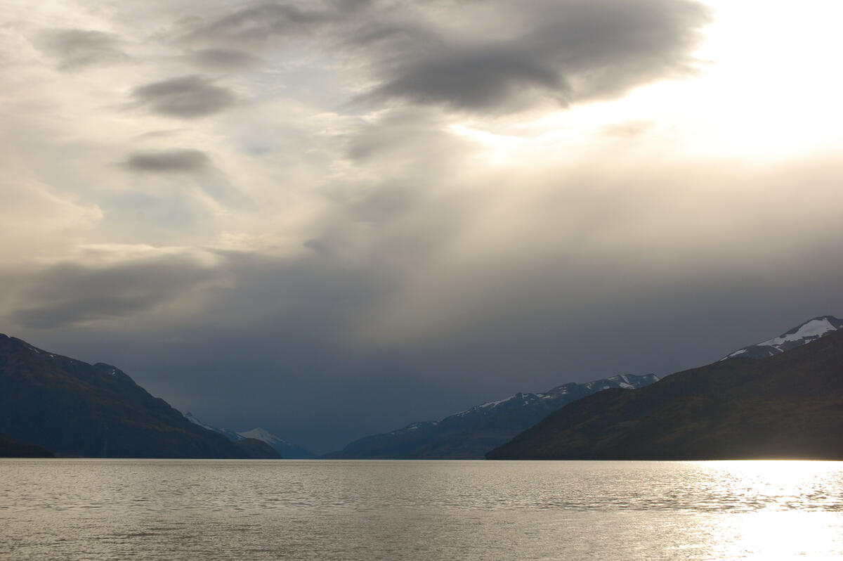
To the west, the Beagle stretches toward the Pacific.
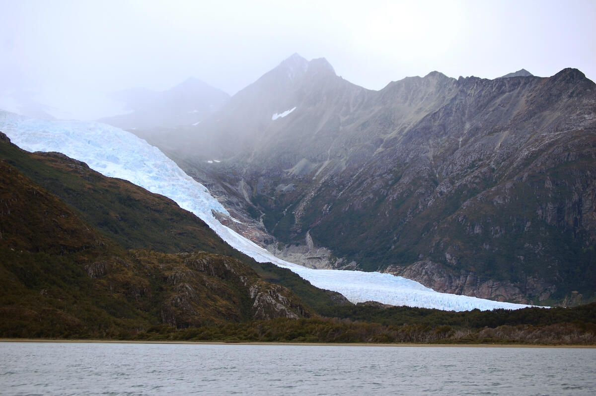
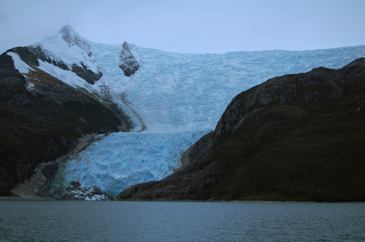
Glaciers are the highlight of the scenery along the Beagle. They are different to the massive ice formations in Antarctica – here they are smaller, but framed by more moderate terrain and contrasted with the greenery of the surrounding valleys.
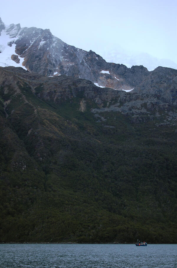
The terrain dwarfs the vessels crawling along the channels. This Chilean fishing boat will be based out of Punta Arenas, the southern-most Chilean city of any size.
We travelled on into the night, headed as far west as possible, planning to work our way back slowly. In the failing light, the glaciers still seem to shine, as they catch and reflect what light there is.
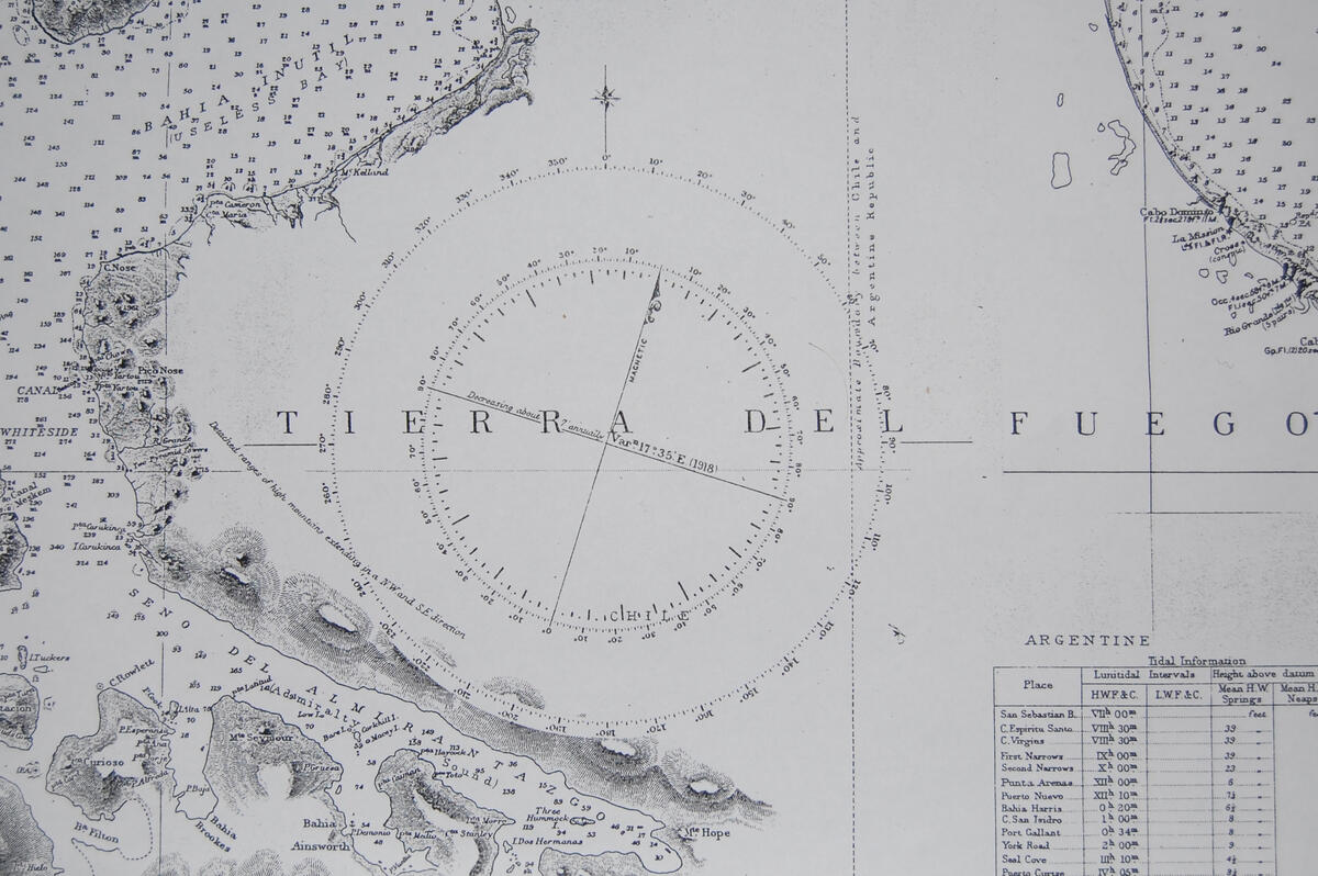
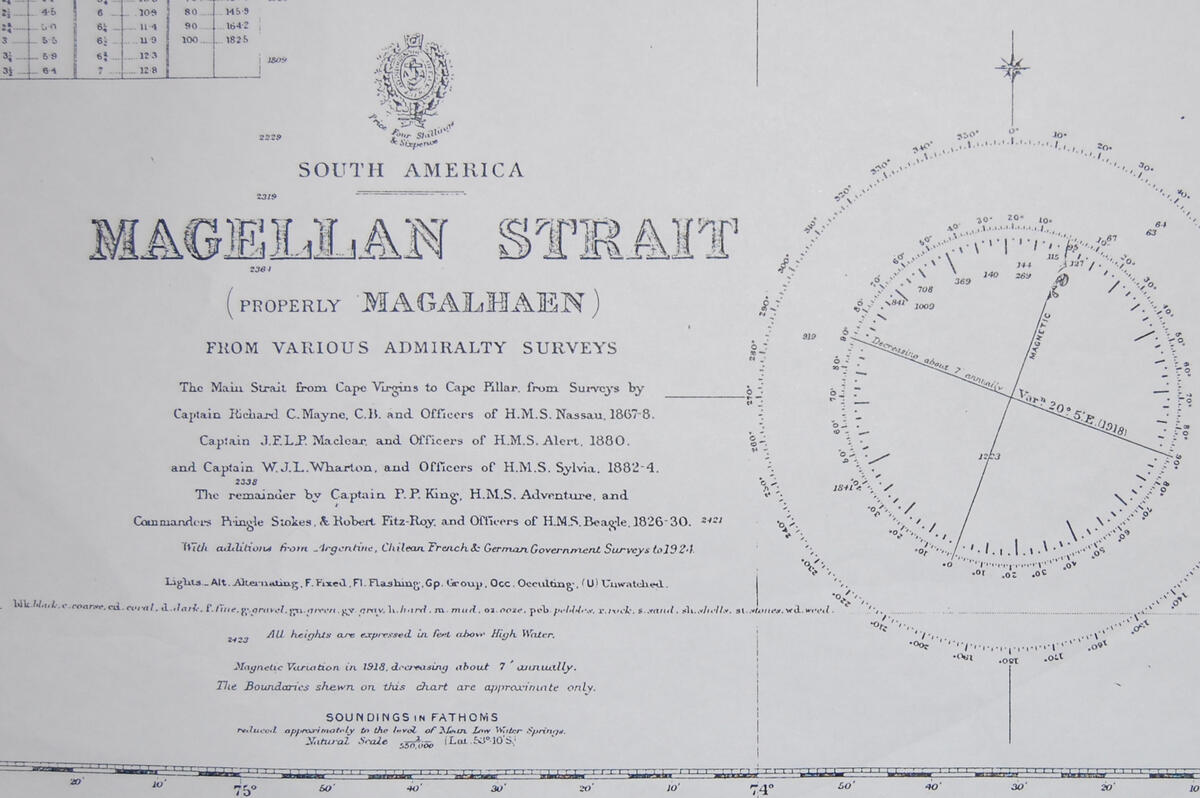
Charts for this area are unreliable and generally out-of-date. One of the overview charts we had for the Magellan Straits featured a number of dates from around a hundred years ago. The magnetic variation here is dated 1918.
Survey credits date back to the original charting work done by the HMS Beagle herself.
Previous experience, careful navigation, fine weather, and radar make navigating this area possible in the dark. There is enough light for this 15 second exposure to show some terrain and the remnants of the sunset.
