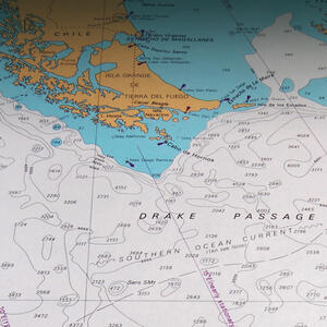
We were at sea, headed north back across the Drake Passage, with little warning. An ideal weather window presented itself, and it was decided to take the opportunity before it disappeared, or we were forced to accept a poorer scenario. Getting south across the Drake is the easy part – it’s the trip back home that has the bad reputation, with north-westerlies that make progress north difficult, and push vessels east of the Horn.
Another issue obvious on the chart (in blue) is the continental shelf which extends south. This shallow water badly affects swells moving onto it from their long trek across the Southern Ocean, heaping them up and greatly exaggerating the effect of the weather. This is one of the reasons behind Cape Horn’s severe reputation.
Drake Passage and Cape Horn
We left with beautiful weather, and the promise of winds with at least a little southerly in them for the first few days sailing.
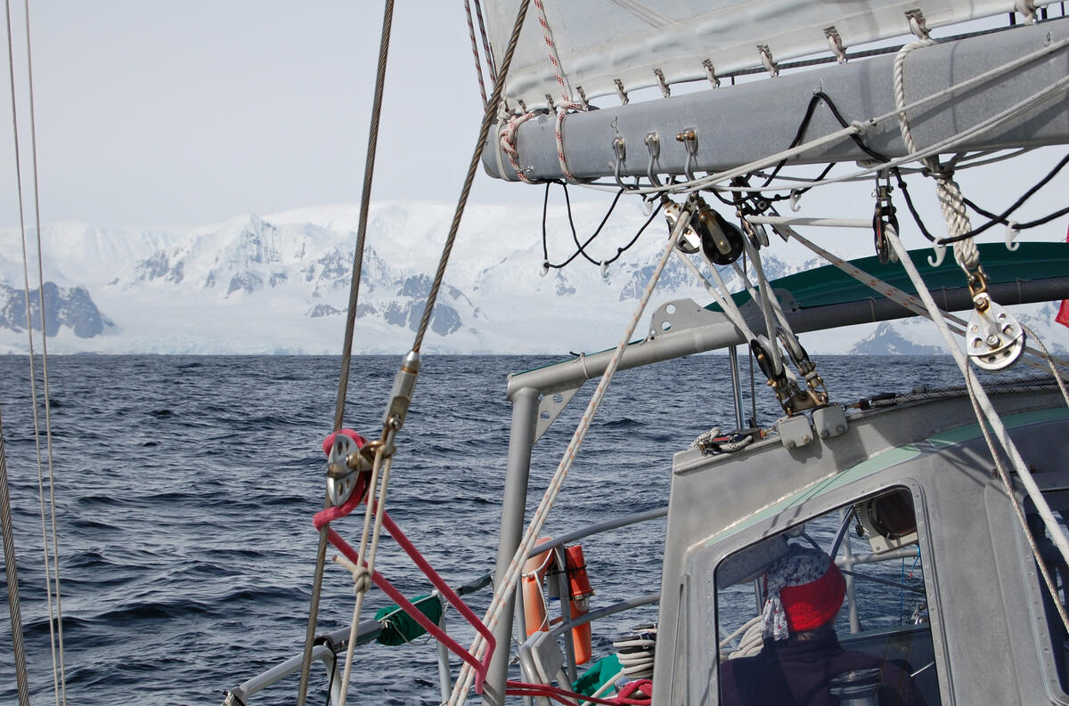
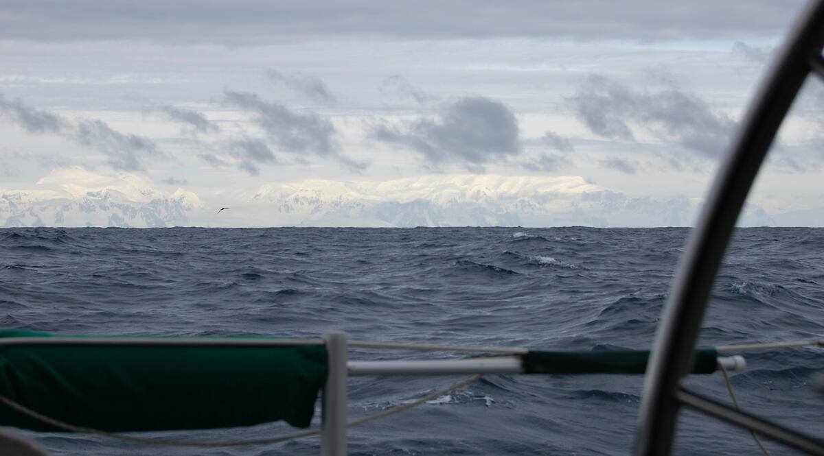
Since we had made landfall in the South Shetlands, and the continent had been shrouded in weather when we first arrived, we hadn’t seen the Peninsula from this distance. It dominates the horizon and looms over the ocean even at some distance.
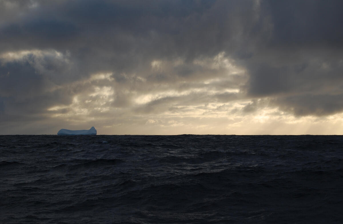
We were a lot farther south than the point at which our southerly passage ended. Icebergs are a serious navigational hazard at this latitude.
The southerly component to the wind helped our course, but it brings super-cooled air off the ice-cap of the continent to the south. Snow and sleet sticks to drier areas of the boat.
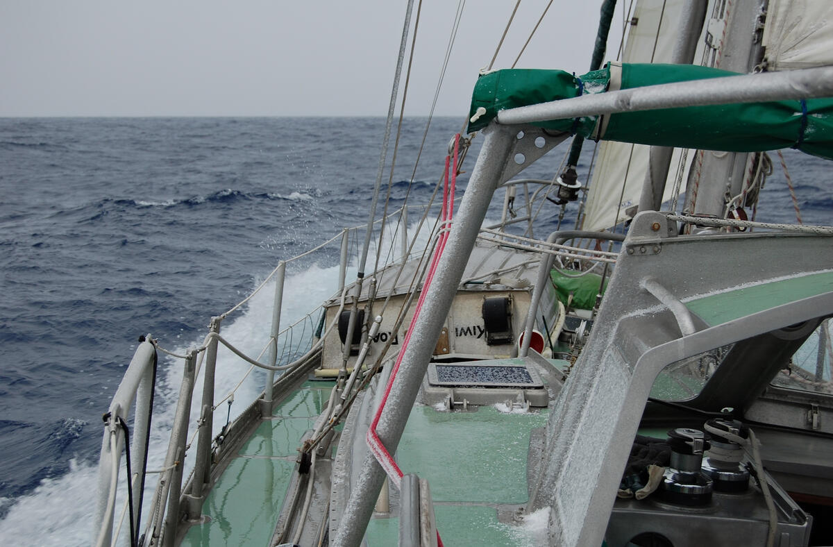
Although we were headed north, it was the coldest we had experienced on the whole trip.
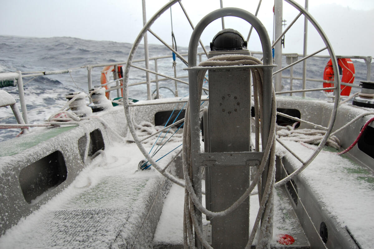
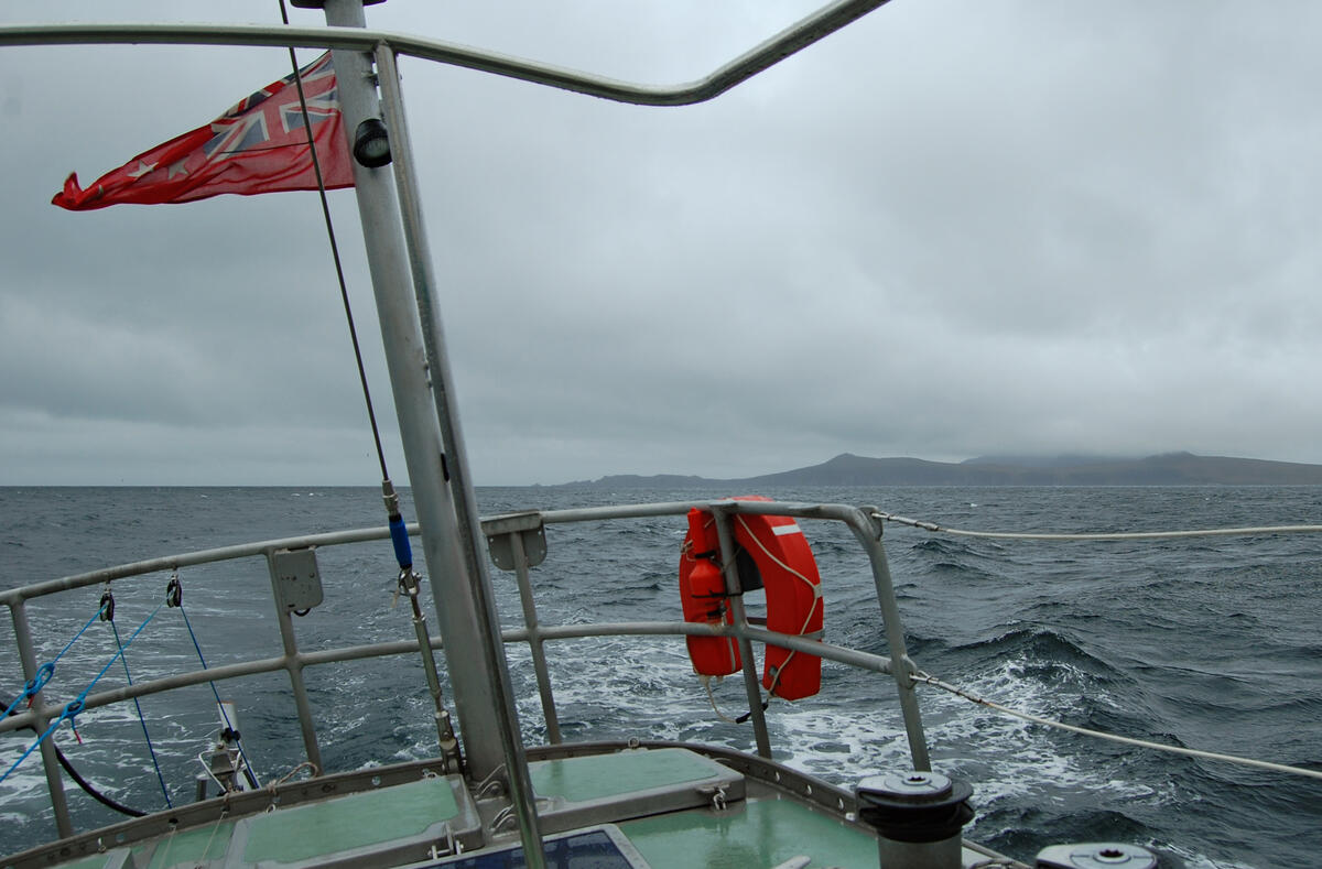
About half-way back, the southerlies had switched, and the wind would be forward of the beam for the remainder of the trip. We had put in enough westing to allow for the dangerous weather scenarios around the Horn, and were never unable to lay our course.
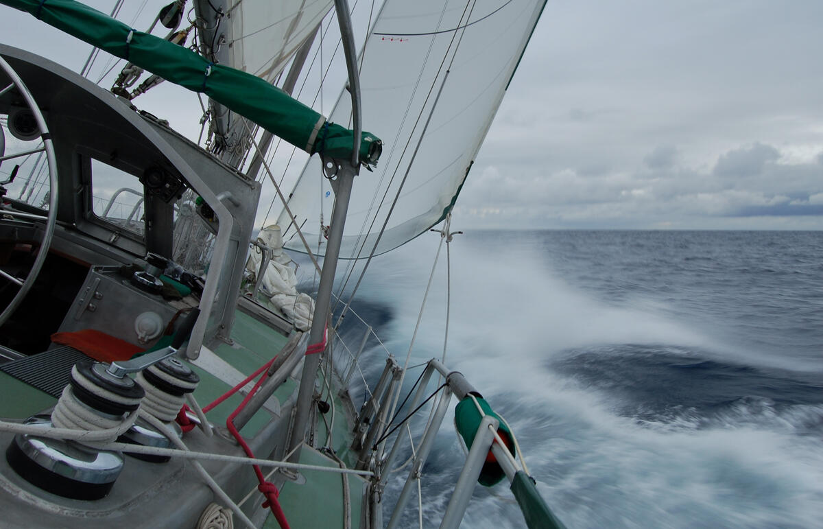
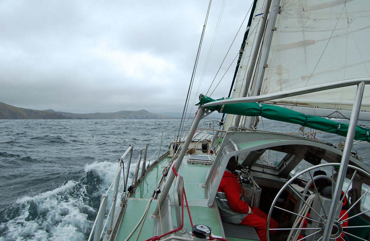
Finally, the South American continent crept onto the horizon, and we broke off east at Cape Horn. On the sail down, our course to the South Shetlands had taken us farther to the west. Fortunately for the photographer, the return trip permited the Horn to be rounded.
It seems that albatrosses also hold the Horn to be of some significance.
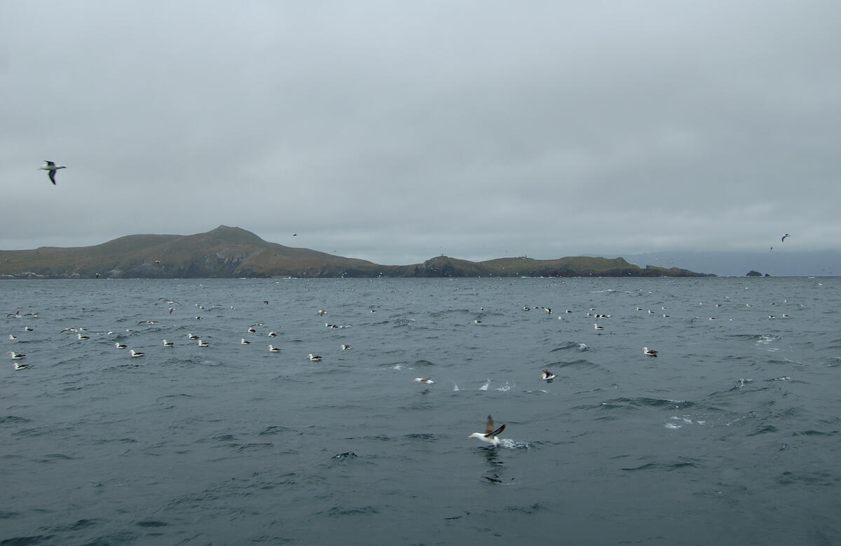
In the lee of the Horn and the surrounding islands, the sea was flat and the wind on the beam. The Cape was rapidly left behind as we made for Puerto Toro again.
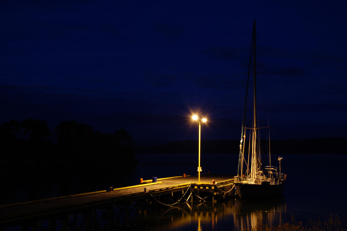
Tieing up to the fishing dock in Puerto Toro was the easiest mooring we had done in quite some time. Puerto Toro is the world’s southern-most town, if the Antarctic bases don’t count – but we were concious of being a great deal farther north than we had been for the preceeding month. The full darkness of the Patagonian night was something of a novelty after the faux nights of summer-time Antarctica, and the stars seemed very strange.
There are other lands to visit in Antarctica beyond the South Shetlands and the Antarctic Peninsula. Photographs of Kiwi Roa’s three month expedition to South Georgia Island are presented in the self-contained South Georgia Photo Story, which we believe will interest the reader.
