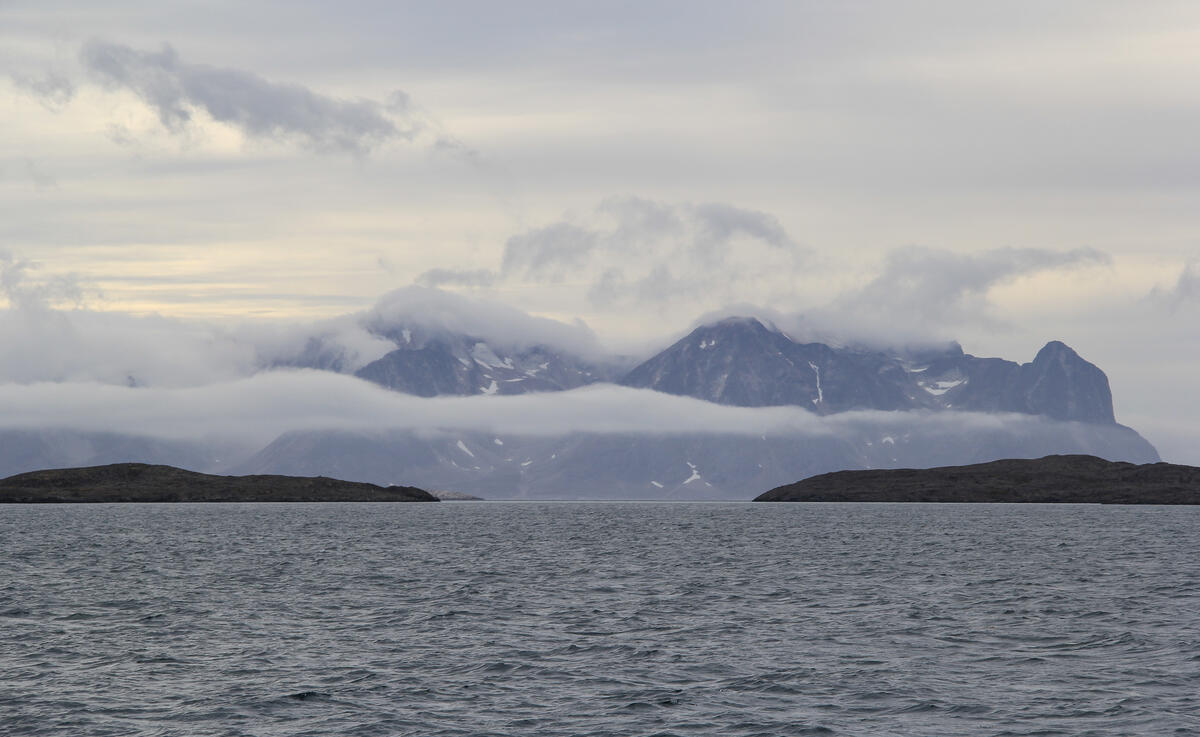
The rugged high country continues through the leads south.
Arsuk & Qaqortoq
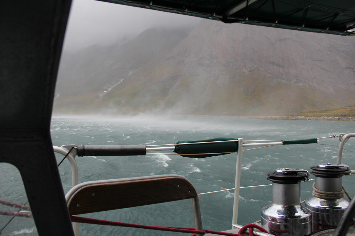
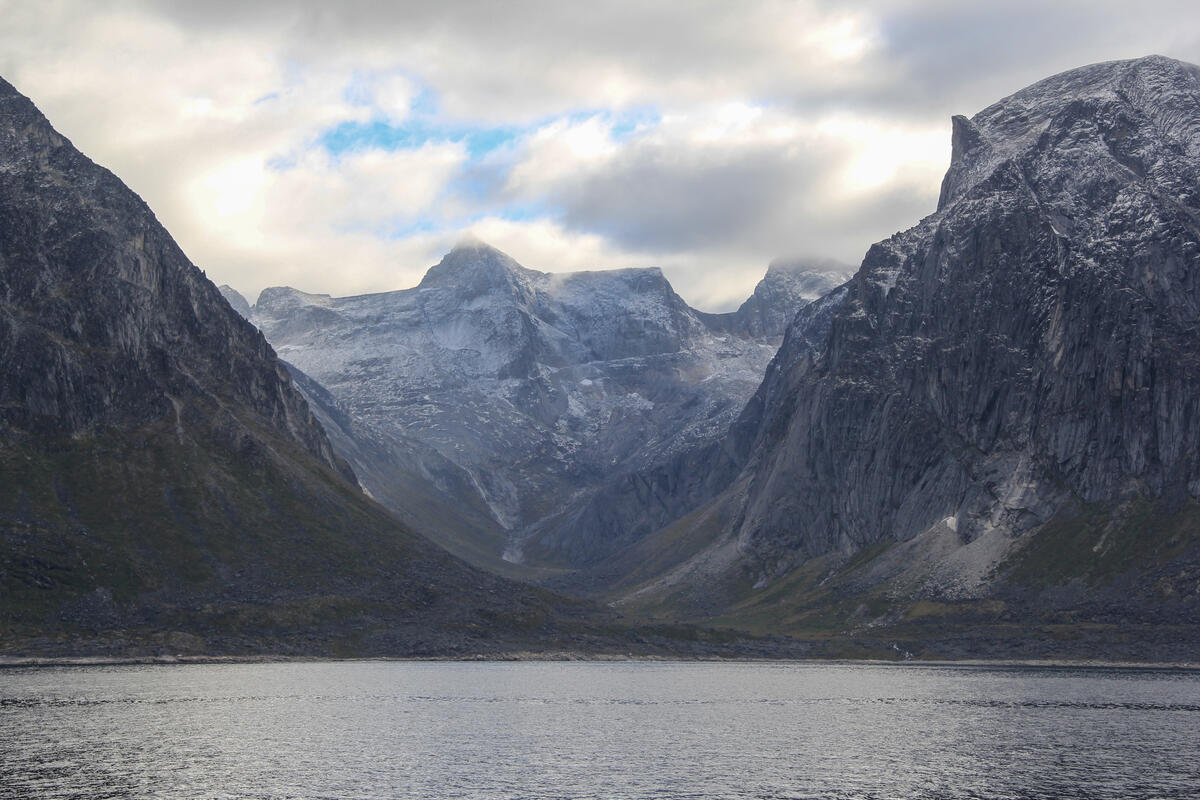
The impact on the airs is ever-present, causing violent downdrafts and sudden changes and reversals in 20 knot winds. Paying attention to the topography becomes as important as reading anchorage depth and bottom types.
With a forecast blow we anchored near Arsuk, Peter unhappy with the terrain which is nothing more than a funnel for wind, but there was nowhere else to go.
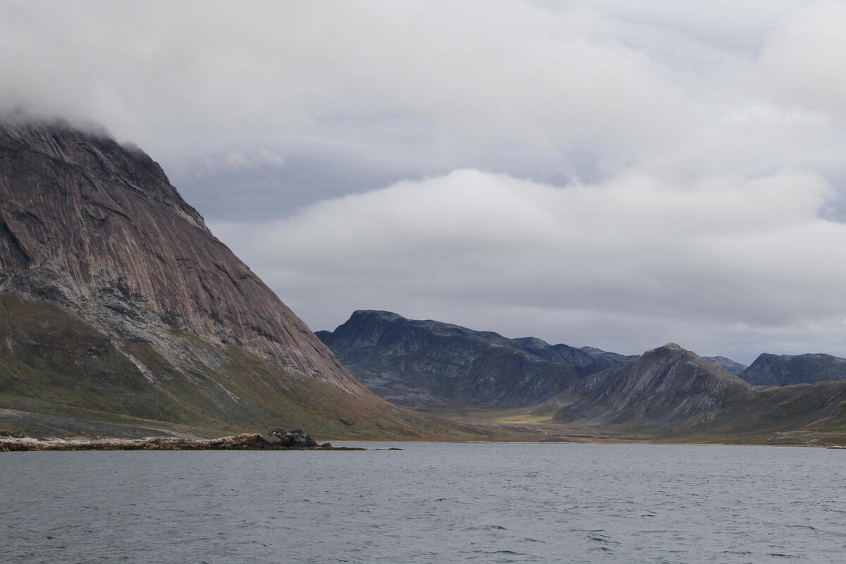
Our Rocna anchor held – on what we don’t know – through sustained 50 and 60 knots, with gusts ricocheting around the valley’s cliff walls, the stern 15 meters from the rocks and the boat sailing about the anchor at 3 knots.
Finally we reached Qaqortoq, formerly Julianehåb, largest town in southern Greenland, nestled in a system of fjords but open to the south.
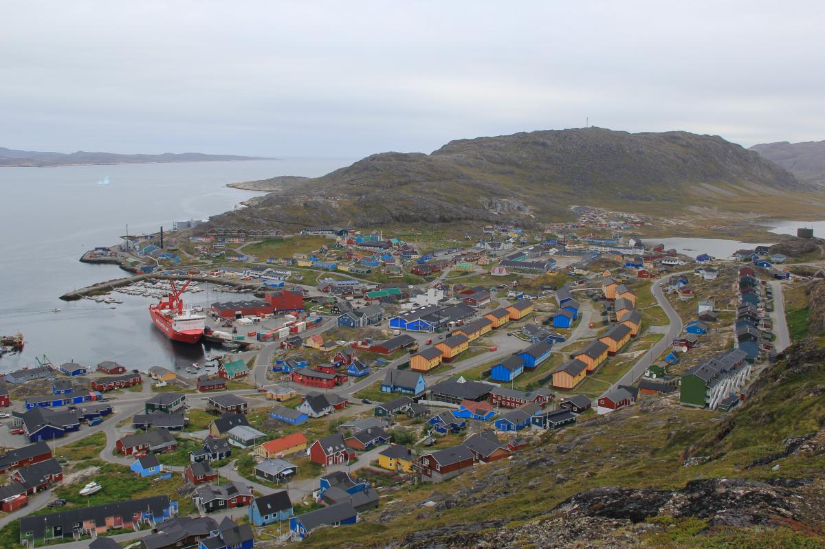
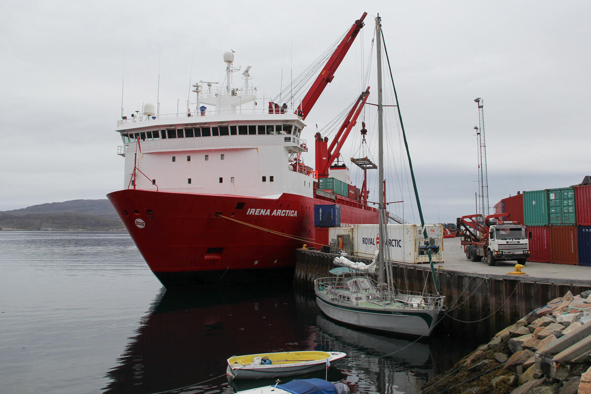
We moored against sheet steel piling again, with a 4–5 meter tide rise and fall, bow jammed up against a boulder seawall and the stern snuck under the bow line of a large container ship. The Irena Arctica is one of the Greenland government’s Royal Arctic shipping line.
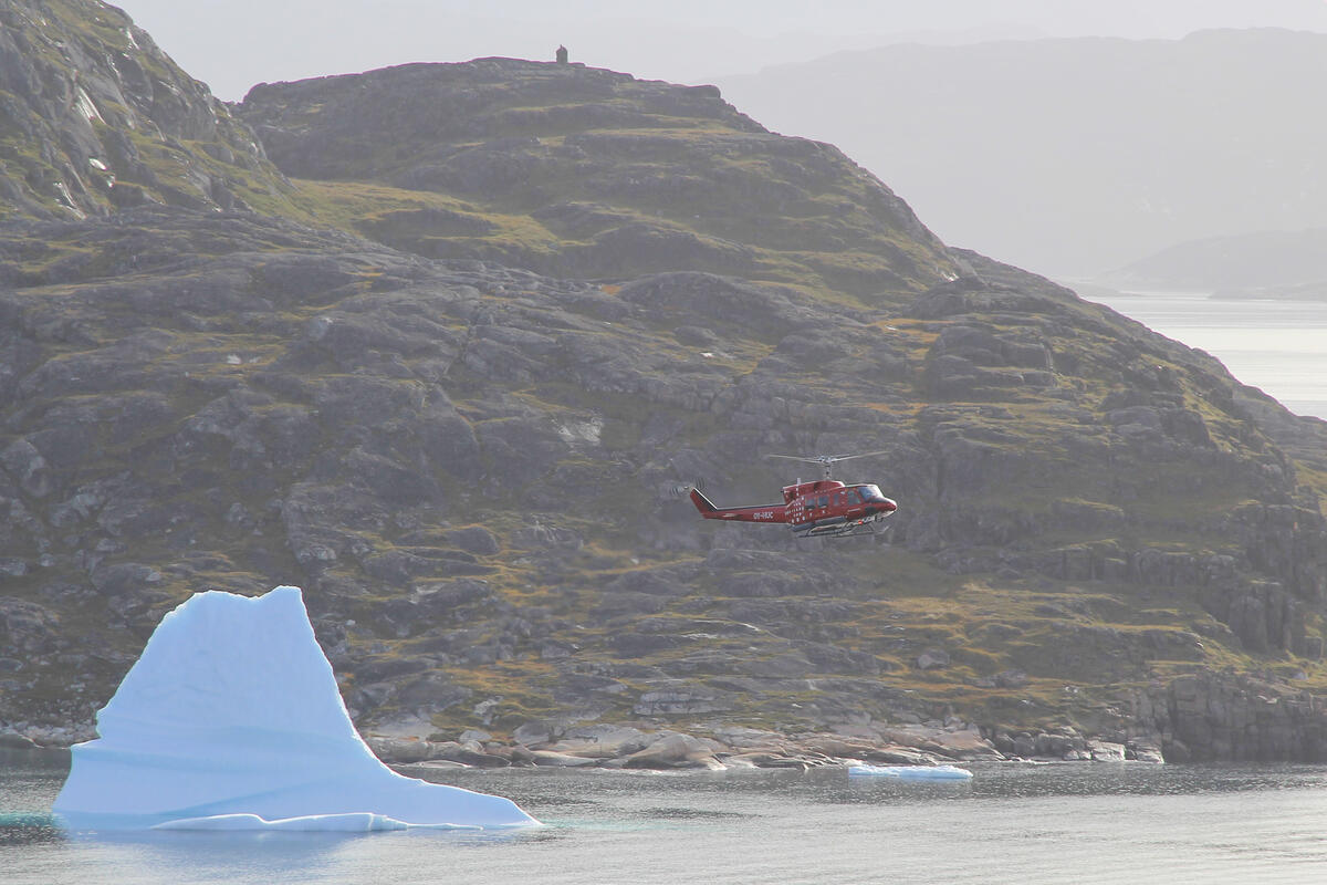
Other than the port, the town’s only other link is a helicopter pad – no fixed wing runway yet – and the thump of bright red choppers frequently comes and goes overhead. For us, this was the last place for convenient re-fuelling.
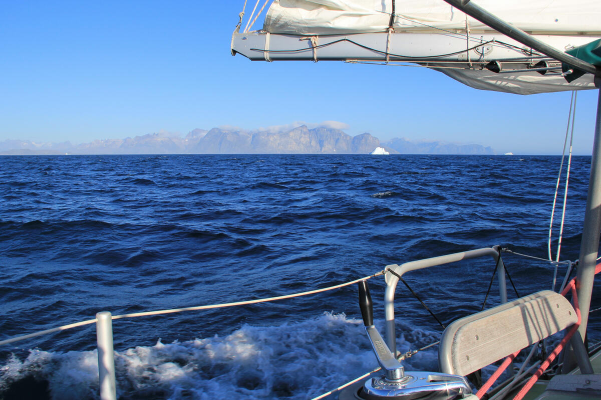
From there we departed Greenland, although the first day of the passage across to Europe was 50 miles of acute angling away from the mountains and fjords of the coast.
For Kiwi Roa, this completed over 1,000 nautical miles of coastal voyaging. Here off the south end of the island, ice of a slightly varied quality appears, polar Arctic pack ice from the north making its way down the eastern coast and around Cape Farvel. It tends to be flat with weathered and rounded tops, huge submersed bread loaves difficult to see in less than ideal conditions and mostly invisible on radar. Ice from the eastern glaciers joins in to make for a slightly stressful departure, adding to the dangers from the stream of depressions that tend to march off the American continent and vent their energy into the North Atlantic.
Cape Farewell (Farvel), southern-most extremity of Greenland and its coastal fjords and archipelagos, was the final waypoint cleared.
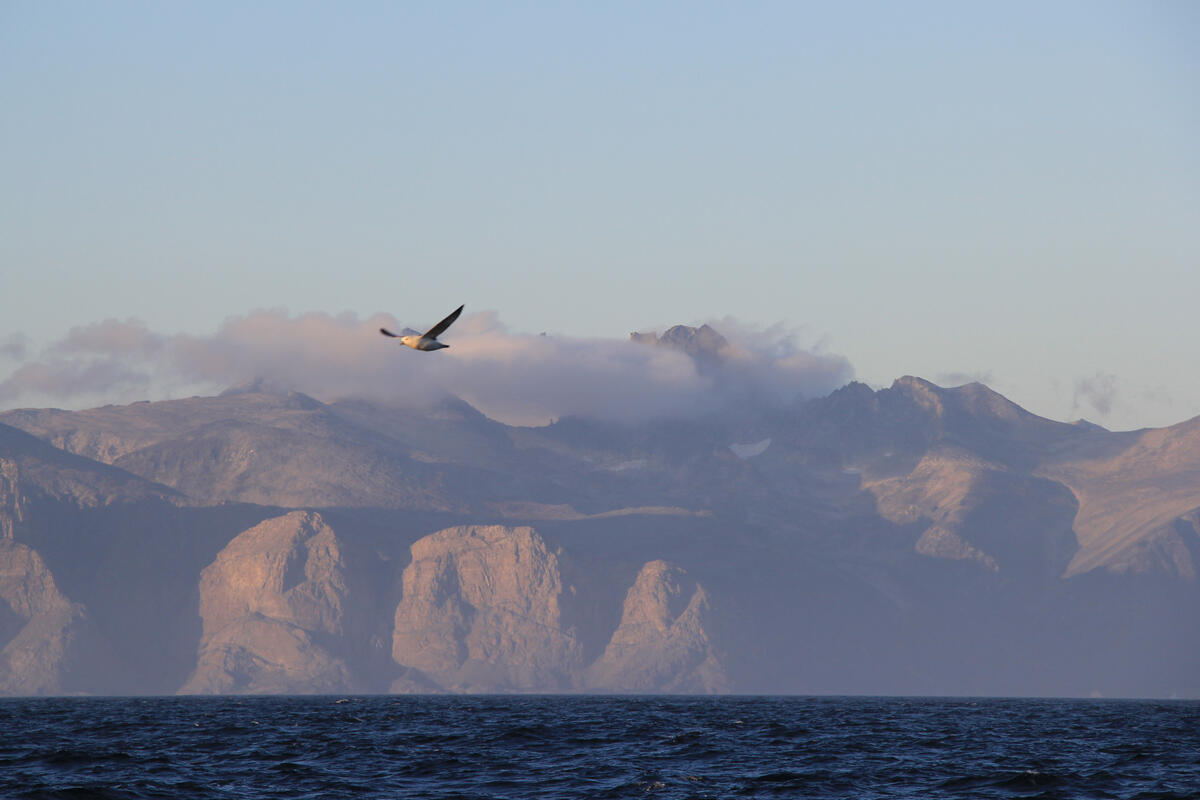
Kiwi Roa would return to the ice, and again to Greenland, but for now it was south to more moderate climates for the winter – to Portugal, our European winter base.
Index
- Greenland (page 1): Landfall & Nuuk
- Greenland (page 2): Maniitsoq (Sukkertoppen) & Hamborger Sund
- Greenland (page 3): Attu & Disko Bay
- Greenland (page 4): Imeriqssoq & Qeqertarsuaq
- Greenland (page 5): Oqaatsut
- Greenland (page 6): Illulissat
- Greenland (page 7): South Again
- Greenland (page 8): Arsuk & Qaqortoq
