
After spending nearly two years in Patagonia and Tierra del Fuego, the Argentine island of Isla de los Estados was the final stop in the region for Kiwi Roa before heading out to the Falklands.
To Staten Island
Staten Island lies immediately east of the tip of the toe of South America, some 100 NM sail into the South Atlantic from Puerto Williams back in Chile.
The island is separated from the mainland by the Le Maire Strait east of Cape Horn, which maintains the reputation for roughness and strong currents of the seas in the area. Much of the reputation of Cape Horn is owed more to this particular passage, where a good many ships have come to grief. A good weather window was chosen and a quick overnight dash with the assistance of the motor saw the crossing made without incident.

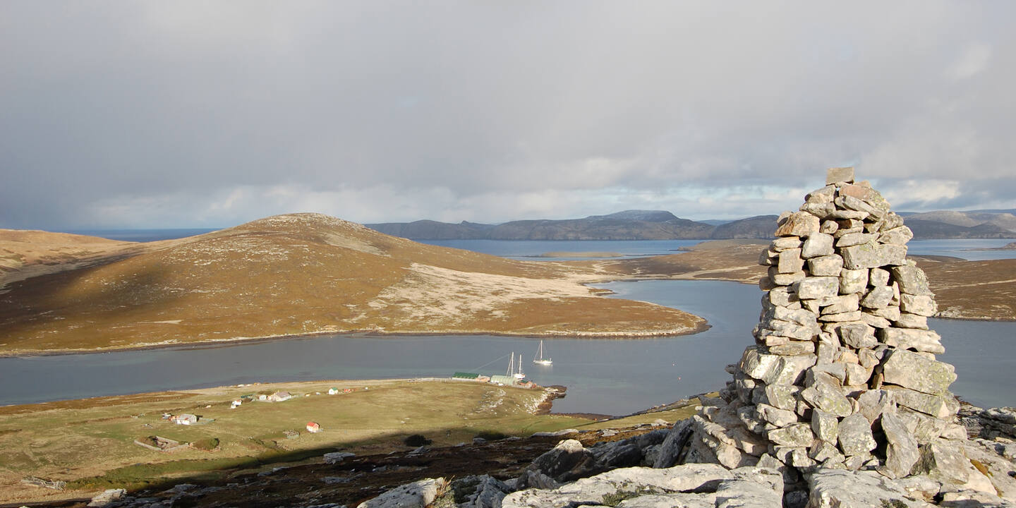
The island is essentially a narrow range of mountains continuing the Andes chain for over 30 NM before plunging into the Atlantic. The terrain is rough and steep; there exists only one harbor of adequate security for boats.

The responsibility of the authorities back in Ushuaia, the island is an ecological reserve with limited access. The only human settlement is a small Argentine naval base responsible for monitoring environmental conservation, ship movements, and the provision of emergency assistance if necessary.

Morning mist lingers, procrastinating over the decision to evolve into clouds.

Puerto Hoppner, on the north side of the island, is the only really effective harbor for small boats. Access is through a narrow pass between rocks – calm weather and good visibility essential.

The rock to the port side slopes out into the center of the passage, making it narrower than is obvious on the surface. A careful eye on the current allows a safe entry.

Inside, the scenery is staggeringly beautiful.

The deep water and rocky bottoms necessitate the shorelines familiar throughout Patagonia. Anticipating high katabatic winds, Kiwi Roa has no less than seven lines tied to trees ashore.

The lines are just cheap polyprop, floating so as not to get trapped under ice. This many is not usually necessary, but here it permits precise adjustments of tension and good control over how the boat lies and which points ashore handle most of the stress.

A hint of these winds on the water shown below will be noticed by experienced mariners. Katabatic winds race down the steep hill slopes and upon hitting the water radiate outward.
